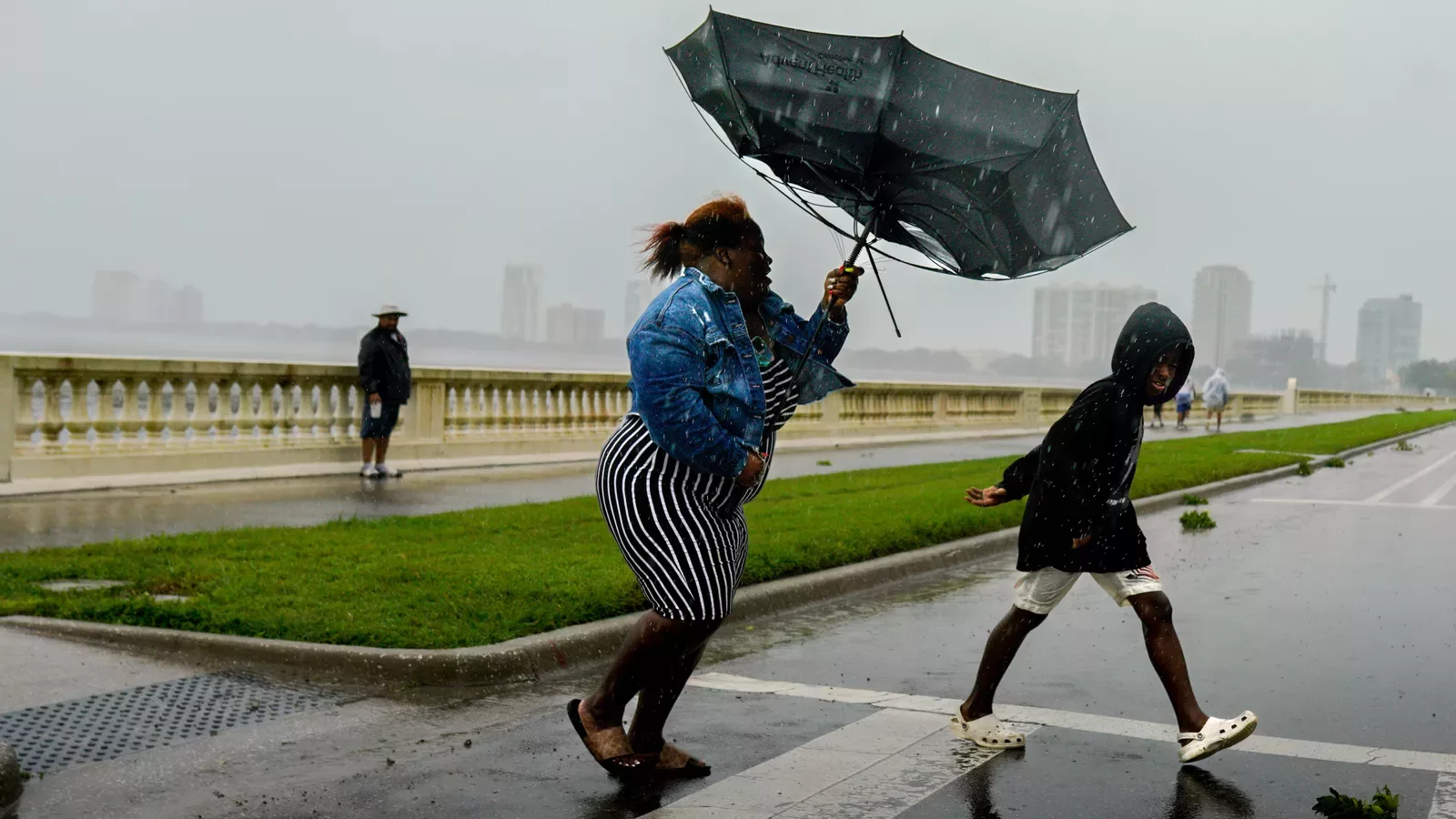
After ravaging Florida with over 150 mph winds, record flooding, and knocking out power for over 2.5 million residents, now-Tropical Storm Ian is making its way north to Georgia and the Carolinas. Governors of each state have declared a state of emergency in preparation for anticipated wind gusts and flooding.
AXIOS: Hurricane warning issued for South Carolina coast
Andrew Freedman; September 29, 2022
After bringing record storm surge flooding and 150 mph winds to Florida’s west coast, a re-intensifying Tropical Storm Ian has emerged over the Atlantic Ocean north of Cape Canaveral, on its way to a damaging encounter with the Carolinas.
The big picture: Hurricane warnings have been issued for the South Carolina coastline. The storm has knocked out power to about 2.6 million customers across Florida, with outages mounting in the Jacksonville area as the storm’s winds knock down trees and power lines.
Ian is forecast to become a Category 1 hurricane when it makes second landfall in South Carolina on Friday afternoon. As of 11am eastern, the storm’s sustained winds had already intensified to 70 mph, 5 mph shy of hurricane status.
- Hurricane warnings are now in effect for the entire South Carolina coastline, and storm surge warnings extend into Georgia.
- Hurricane Center forecasters warn the storm will have a large wind field as it approaches the coast, which could add to storm surge heights.
- The storm will bring the threat of coastal flooding from the surge as well as inland flooding due to torrential rains. The rainfall threat will not be limited to Georgia and South Carolina, according to the National Weather Service.
- The agency has issued a “moderate risk,” or level 3 out of 4 on its risk scale, for flash flooding in South Carolina on Friday, with that danger moving north and east through the weekend.
- The NWS is predicting a large swath of 4 to 6-inch rainfall amounts from Charleston, South Carolina, to southeastern Virginia. Heavy rain could fall as far north as Washington, D.C., this weekend.
- The governors of Georgia, South Carolina, North Carolina and Virginia declared states of emergency earlier this week.
Florida
- Ian continued to make its way over northeastern Florida and out to the western Atlantic Ocean early Thursday with heavy rain, strong winds and a continued storm surge threat.
- Multiple coastal locations reported wind gusts between 60-66 mph Thursday morning.
- The NHC said coastal water levels were subsiding along the west coast of Florida, but warned residents on the state’s northeast coast of life-threatening storm surge through Friday.
- There is a tornado risk with the hurricane’s spiral rain bands in northeastern Florida and southeastern Georgia on Thursday.
- President Biden told Florida Gov. Ron Desantis Thursday that FEMA Administrator Deanne Criswell will travel to the state to check in on response efforts.
Axios Local dispatch from Tampa Bay’s Ben Montgomery, who’s reporting from Venice, Florida.
- Entire neighborhoods in Venice, Nokomis and Laurel are inaccessible due to flooding or toppled trees, and without power or phone service, leaving residents essentially cut off from the world until someone comes to help.
South Carolina
- The NHC warned Ian will again attain hurricane intensity as it nears the coast of South Carolina.
- The storm is expected to once again push toward land in South Carolina around Friday afternoon, bringing 4 to 7 feet of storm surge flooding above normally dry land to some areas.
- Forecasters are predicting peak winds of 40 to 50 mph — with gusts of up to hurricane force — for Hilton Head Island. Charleston is expected to get 4 to 8 inches of rain and could see up to 1 foot in isolated areas.
- Sea level rise from climate change, along with land subsidence over time, makes Charleston one of the most vulnerable cities in the U.S. for flash and surge-related flooding.
- The combination of torrential rains and the storm surge will make it difficult to drain water from the city into the Atlantic, raising the prospect of damaging flooding in the city.
Georgia
- A tropical storm warning, hurricane watch and storm surge warning has been issued extending up and down the east coast of Florida into Georgia, South Carolina and North Carolina.
- Ian is anticipated to stay off the Georgia coast before making landfall again in South Carolina. Gusty winds and heavy rain are the main threats to north and central Georgia through late Saturday.
- The NHC warned of considerable flash and urban flooding in southeastern Georgia.
North Carolina
- The state’s governor told residents to expect heavy rainfall and possible flooding and tornadoes on Friday and Saturday.
- The storm is forecast to track toward the western regions of North Carolina with 5-7 inches of rain possible both along the coast and along the Blue Ridge mountains.
Virginia
- Ian’s remnant circulation will likely hit Virginia over the weekend, leading to heavy rains across the Appalachians in particular. The NHC said the state could see 3 to 6 inches or rain, with totals as high as 8 inches in some areas.