The storm system is forecast to bring several months’ worth of rain to Southern California in the span of just a few days, while a flash flood threat covers the Bay Area and Northern California on Thursday.
According to the FOX Forecast Center, there will be multiple rounds of rain that will impact portions of Southern California. One round will come Friday morning, but the peak will be overnight Friday into Saturday.
As a result, a flash flood threat level 3 out of 4 exists for both Friday and Saturday across California.
On Friday, the heavily impacted areas will be in the mountains around Los Angeles near the recent burn scars, especially in the area of the recent Palisades Fire.
According to the National Weather Service, ash from wildfires creates burn scars — a water-repellent coating that prevents the ground from absorbing water and causes the area to be predisposed to flash flooding and debris flows.
Evacuation warnings have been issued for areas around the Palisades, Franklin, Easton and Canyon fires, among other locations.
Flood watches are issued through Saturday for most of Southern California, including Los Angeles and San Diego, affecting over 20 million Americans.
Saturday will bring the peak of heavy rain in Southern California. Moisture levels will increase, causing more rain to develop throughout the morning and afternoon.
With the flooding that is expected to occur on Friday, Saturday’s rain will bring on flooding much faster.
Morning Report delivers the latest news, videos, photos and more.
Please provide a valid email.
By clicking above you agree to the Terms of Use and Privacy Policy.
Never miss a story.
By clicking above you agree to the Terms of Use and Privacy Policy.
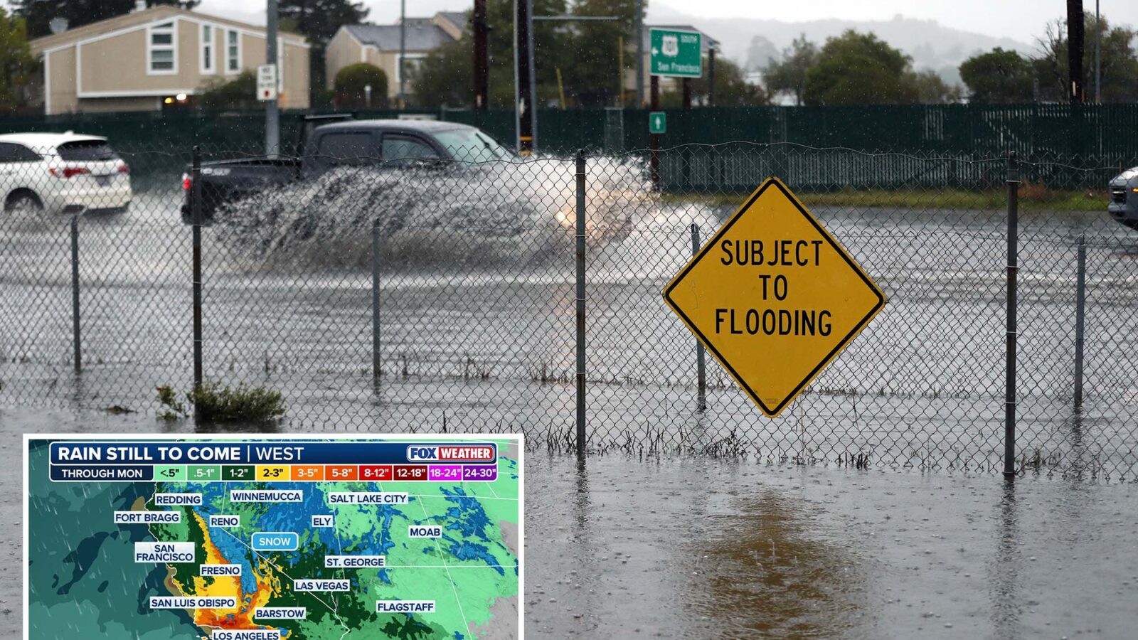
All told, parts of the California coast, including San Francisco and Los Angeles, could see 3 to 5 inches of rain through Monday, with localized pockets of 5 to 8 inches of rain.
The San Gabriel and Santa Monica ranges could also see 5 to 8 inches of rainfall.
If this storm unfolds as forecast, this would be one of Los Angeles’ wettest Novembers in the past 50 years.
Meanwhile, winter weather alerts have been posted for the Sierras through Friday. Some of the highest mountain passes have already closed for the season.
Wind gusts along ridgetops in the Sierras could exceed 100 mph.
Advertisement