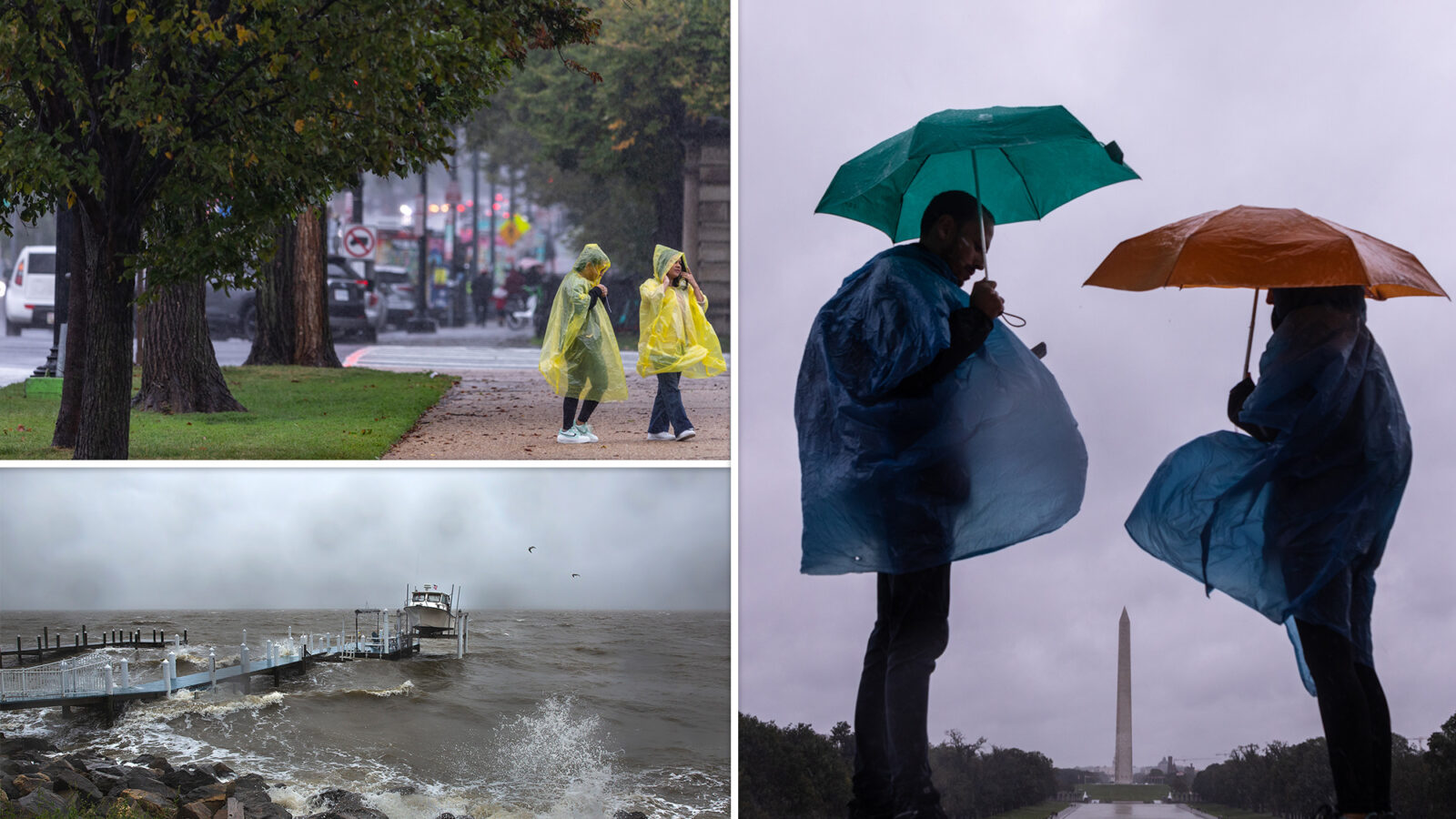
Don’t put that raincoat back in the closet just yet.
The remnants of Tropical Depression Ophelia will continue to bring at least another 24 hours of nasty wet weather to New York City, as the possibility of flooding and heavy rains will push well past Monday’s morning commute.
The storm, which made landfall in North Carolina early Saturday morning, has brought strong winds and dumped heavy downpours across the Big Apple and much of the East Coast as the system weakens and slides further into the Atlantic Ocean, prompting forecasters to advise New Yorkers that it’s a “good weekend to stay inside.”
Ophelia continues to weaken, downgrading to a Tropical Depression just before 8 p.m. Saturday, causing all storm surge and tropical storm warnings to be discontinued.
“Some of the rain is still lingering. There will be pockets of dry time and then not dry, but we shouldn’t see any flooding or anything. It’s starting to die down,” Fox Weather meteorologist Marissa Lautenbacher told The Post.
Areas of heavy rainfall are possible along Ophelia’s frontal boundary as it stretches from eastern Pennsylvania to just south of Long Island on Sunday, according to the National Weather Service.
The risk of flash flooding will remain through Sunday night and Monday morning’s commute is expected to be a wet one, according to Lautenbacher.
Rough surf and coastal flooding will also remain a concern along the Mid-Atlantic coastline into Monday.
“Right now, it’s still rather gusty. Winds are still gusting up to like 20 mph and it will still be a little bit breezy tomorrow morning, with winds at about 11 mph,” Lautenbacher said Sunday morning.
“It’s still going to be a little breezy but nothing like we’ve been seeing.”
Ophelia came ashore near Emerald Isle on Saturday with near-hurricane-strength winds of 70 mph, but quickly weakened as it traveled north into Virginia that evening.
New York City issued a travel warning Friday night ahead of the storm and announced it was prepping for flash floods.
Flights at all three New York City airports were reporting delays both Saturday and Sunday.
New York City issued a travel warning Friday night ahead of the storm and announced it was prepping for flash floods.
By Sunday morning, 11 flights at JFK, 5 at Newark and one at LaGuardia had been canceled entirely, according to FlightAware.
Temperatures will be in the low to mid-60s, rising to 66 by Monday.
The New York City Emergency Management Department issued a travel advisory for Saturday and Sunday. Crews from the Department of Environmental Protection and the Department of Transportation are inspecting and cleaning catch basins in neighborhoods and roads prone to flooding.
Minor coastal flooding is expected along vulnerable locations of the New York and New Jersey harbor, Jamaica Bay, southern bays of Nassau County, and coastal Westchester, according to the weather service.
“While the warmer summer days are behind us, New Yorkers should take precautions regarding the forecast for high winds and rain during our first fall weekend,” said NYC Emergency Management Commissioner Zach Iscol in a statement, adding that the weather is a reminder that the region is still in the thick of hurricane season.
